Kostoľany Educational Trail
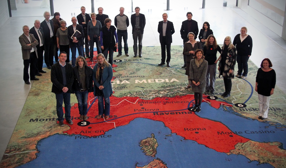
St George’s Church in Kostoľany pod Tribečom represents a major Slovakian site in the European project Cradles of European Culture – Francia Media 850–1050, which was granted within the Culture 2007–2013 Programme. The aim of this project is to give an understanding of what connected and what divided us already in the Early Middle Ages by means of an exhibition and a virtual Culture Heritage Rout’.

The Culture Heritage Route currently units ten European sites that flourished between AD 850 and 1050. To improve the understanding of these sites we have developed a special methodology of their research and interpretation. Although, they are all different types of monuments – monasteries, churches, seats of secular power or whole urbanised areas – there is always something that connects them. The method of the ‘sites of memory’, developed mainly by French historians since the 1980s has served as a basis for their analysis. Approaches known from the phenomenology of architecture or the archaeological theory of settlement areas were applied to the research of the sites themselves.
The Cultural Memory Theory serves to investigate changes of the monuments and changes of their perception by society from the early Middle Ages to the present, mainly since their discovery by ‘modern’ science in the 19th–20th centuries, as well as their present role, not only in the context of local cultural identity.
The Kostoľany Educational Trail (Gýmeš–Kostolianske lúky) was developed within the Cradles of European Culture – Francia Media 850–1050 project. The trail mainly crosses the morphological unit of Tribeč, Jelenec as its part and the edge of a northern and north-western promontory of the subunit of the Žitava hill lands (Žitavská pahorkatina). Its official beginning or imaginary centre lies in the municipality of Kostoľany pod Tribečom, however, it is possible to start also from Žirany, Jelenec, Ladice, or Velčice. An information panel on the educational trail is to be found in each of these municipalities.
The first starting point is station no. 1 in Kostoľany pod Tribečom, from where one can take two directions, either to Velčíce (stations no. 1, 13–21), or the saddle beneath Gýmeš (stations no. 1–9). From station no. 9 it is possible to return back to Kostoľany pod Tribečom (stations no. 9, 12, 1,2), or to continue in various directions – to the municipalities Ladice (stations no. 9, 22–25), Jelenec (stations no. 9–11, 26-30) or Žirany (stations no. 9–11, 26, 27, 31–34). Similarly, one can choose as starting point any of the municipalities on the route of the educational trail, depending on difficulty, length, or interest. The total length of the trail following the numbers of the stations is 27.6 km with an elevation difference of 714 m.
The Kostoľany trail is designed for walking, and the route uses only properly marked tourist trails. Individual stations are marked with the symbol of the educational trail and the according station numbers in the outdoors. The route of the trail can be found on a map in the guide, alternatively the tourist map ‘Tribeč Pohronský Inovec Topoľčianky, no. 137’ of the edition of tourist maps in the scale 1:50 000 by the publishing house VKÚ, a.s. Harmanec can be used. Part of the educational trail is a segment of the Nitra arterial road (stations no. 2–4, 27–34) from Nitra to Handlová through the mountains of Tribeč and Vtáčnik. From the station in Žirany we can continue by the educational trail Zoborské vrchy to Nitra.
List of the stations- Municipality of Kostoľany pod Tribečom
- Roads
- Forest Insects
- Lesnícke značenie
- Jelenská gaštanica
- Acidophilic Oak Forests
- Gýmeš Castle
- Xerotherm Meadows
- Trail Marking
- Studený Hrad and Mountaineering
- Ripples at Studený Hrad
- Woody Plants
- Well Below The Church
- St George´s Church
- St. Urban
- Veľký Lysec
- Gamekeeping
- Meadows of Velčice
- Municipality of Velčice
- Heats
- Viticulture
- Glimpses at the history of Ladice
- Municipality of Ladice