Ponitrie Protected Landscape Area
The route of the educational trail is situated in the Ponitrie Protected Landscape Area (CHKO). Apart from Ponitrie, there are thirteen protected landscape areas in Slovakia; together with nine National Parks (NP) they are designated as ‘large-scale protected areas’. Much smaller are ‘small-scale protected areas’ with an average surface of some hundreds hectares. The national Slovakian system distinguishes between Protected Site (Chránený areál; CHA), Nature Reserve (Prírodná rezervácia; PR), Nature Monument (Prírodná pamiatka; PP) and Protected Landscape Element (Chránený krajinný prvok; CHKP).
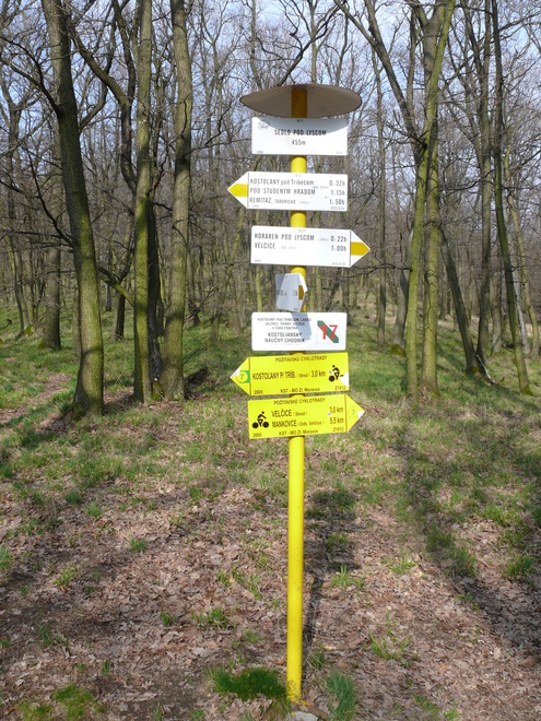
We continue along the yellow marking (8135) on a forest road from station No. 16 on a continuous slope to the northeast until we arrive at a crossing in a pine grove, where we turn to a narrow steep path to the touristic sign post Sedlo pod Lyscom, 455 MASL. TIme: 25 min., in the opposite direction 14 min., length: 0.6 km, in both directions medium-challenging.
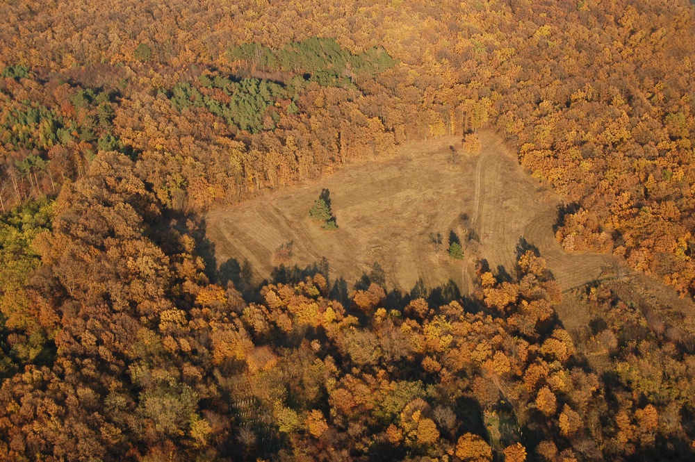
A unique part of our most important environmental heritage may be declared a National Nature Reserve (Národná prírodná rezervácia; NPR). This educational trail passes the protected site of the Kostoľany Meadows (station No. 16) and the protected site of Jelenská gaštanica (station No. 5).
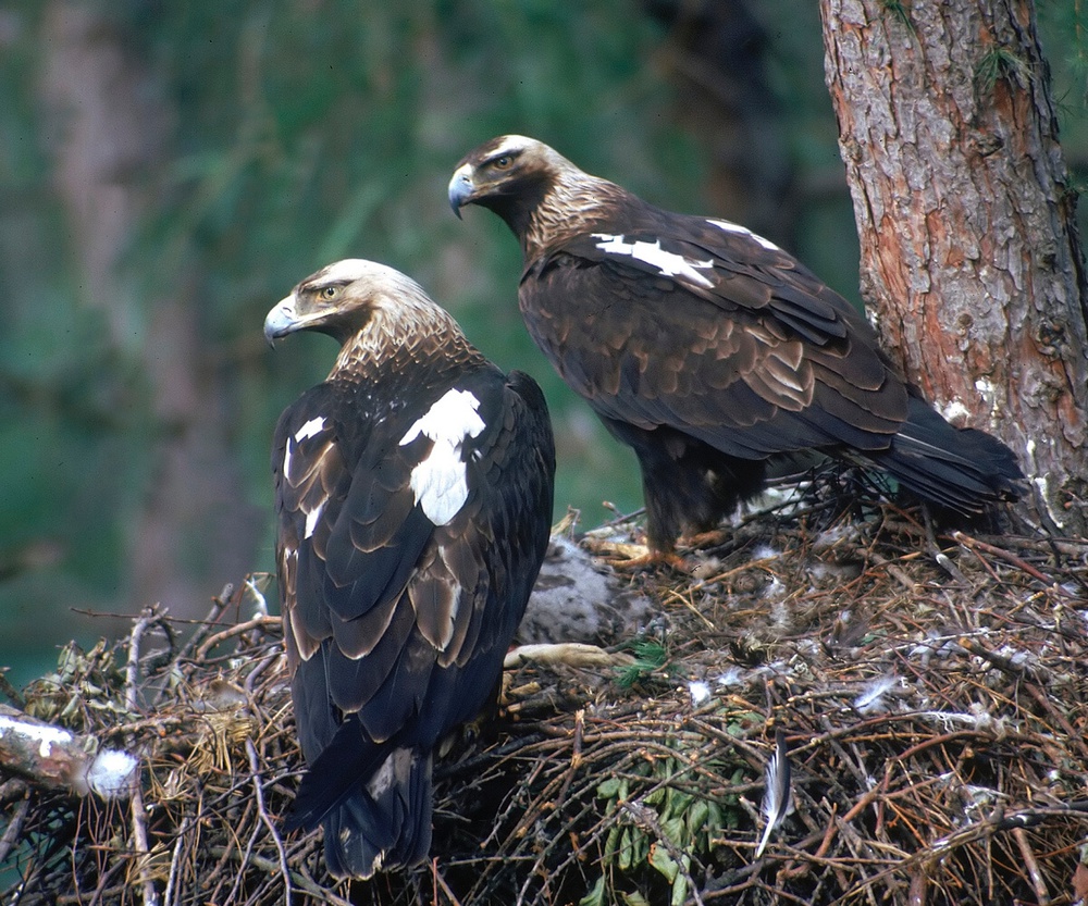
The surrounding mountain forests are part of NATURA 2000, the current network of protected areas in the EU. The central part of the Tribeč Mountains from the surrounding southern promontories of the forest to Nitra River contains the Bird Reserve Tribeč. Traditionally the forests of Tribeč are a nesting place of the eastern imperial eagle (Aquila heliaca). The Kostoľany Meadows are a European site, the borders of which are identical to the borders of the protected area. The protected site of Jelenská gaštanica is bordering with the European site of Gýmeš. This relatively small area is outstanding in multiple different biotopes, plant and animal species of European-wide significance.

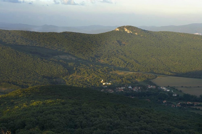
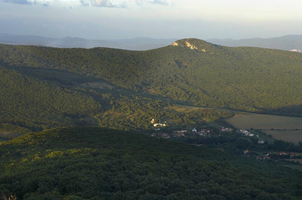
The Ponitrie Protected Landscape Area was founded in 1985 on a surface of 37,655 ha. Its maximum length is 56 km, and width 15 km, the lowest point is situated in the Tribeč Mountains north of Nitra (170 MASL.) and the highest altitude is represented by the peak of Vtáčnik (1,346 MASL.). The Ponitrie Protected Landscape Area consists of two different landscapes differing in geological structure, sea level, clime and sunlight.
The northern part of the protected area is formed by the volcanic rocks of Vtáčnik, a part of the Triassic Slovak Central Mountains. The canyon of Bystričanská dolina represents a unique natural formation, on both sides with the extraordinary rock walls Veľká skala and Hrádek, the cylindrical volcanic chimney on Ostrovica Hill, but as well the split rock towers on the main ridge of Vtáčnik. A colder and moister climate prevails in the Vtáčnik Mountains, therefore it show the typical beech forests and mixed forests of beech and fir. The peak of Vtáčnik has given its name to the surrounding European natural protected area. It is characterised by beeches and shrubs, the so-called bread-leaved scrub, but as well by spruces.
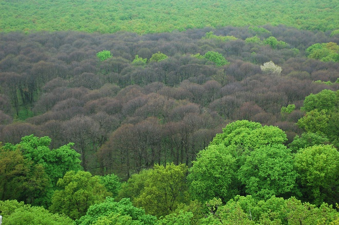
The southern part of the Ponitrie Protected Landscape Area is shaped by the Tribeč Mountains, which belong to the Mesozoic crystalline mountains of the Inner Western Carpathians. A morphologically interesting part of the Tribeč are the quartzite hills. Some of them have been declare small-scale protected areas and are part of the European area of Hôrky, which contains the National Nature Reserve Hrdovická, the Nature Reserves Solčiansky háj and Kovarská hôrka. With the exception of the highest parts of Veľký Tribeč, warm mountain climate prevails In the Tribeč Mountains. The plant and animal communities display a large number of rare and protected species. The diversity of species is, among others, caused by the overlapping of the Pannonian and the alpine bio-geographical regions in the southern part of the mountains. The forest communities form mainly oak and hornbeam forests, oak forests and on higher altitudes beech forests.